Topcon Positioning Systems has announced new additions to its geomatics portfolio aimed at helping professionals across surveying, construction and infrastructure improve digital workflows and manage project information more efficiently. The latest solutions expand the company’s geospatial technology ecosystem, bringing together reality capture, positioning, data management, monitoring and subsurface intelligence capabilities.
The announcement coincides with INTERGEO 2026, one of the leading international trade fairs for geodesy, geoinformation and land management. The event is taking place September 15–17 in Munich, Germany, bringing together professionals and technology providers from across the global geospatial industry.
Topcon’s latest portfolio developments are focused on the growing need for connected technologies that allow project teams to capture, process, share and manage information across multiple stages of a project. As surveying and construction workflows become increasingly digital, the ability to move information between hardware, software and project platforms is becoming an important part of improving productivity and decision-making.
The company’s expanded geomatics ecosystem is designed to support this transition by connecting several technology areas within a broader digital workflow. These include reality capture technologies for collecting detailed information about physical environments, positioning solutions for accurate field operations, data management tools for organizing project information, monitoring technologies for tracking changes and movement, and subsurface intelligence solutions for understanding conditions below ground.
According to Topcon, the combination of these capabilities is intended to help professionals reduce gaps between field data collection and project execution. Connected workflows can allow information captured in the field to move more efficiently into digital environments, where it can be analyzed, shared and used by other members of a project team.
“Industry professionals are looking for flexible technologies that fit within their existing processes,” said Neil Vancans, head of Topcon Geomatics Sales. “Topcon addresses this need through open integrations, cross-platform compatibility, and connected workflows.”
The company’s emphasis on open integration reflects a broader shift within the construction and geospatial sectors. Many organizations rely on a combination of specialized equipment, software platforms and data environments. Technologies that can work across different systems can help companies avoid isolated workflows and make project information more accessible to teams working in different locations or disciplines.
Topcon’s approach is intended to support this interoperability by enabling users to connect different parts of their digital workflows. Rather than treating surveying, positioning, reality capture and data management as separate activities, the company is developing an ecosystem designed to allow information to move between these functions.
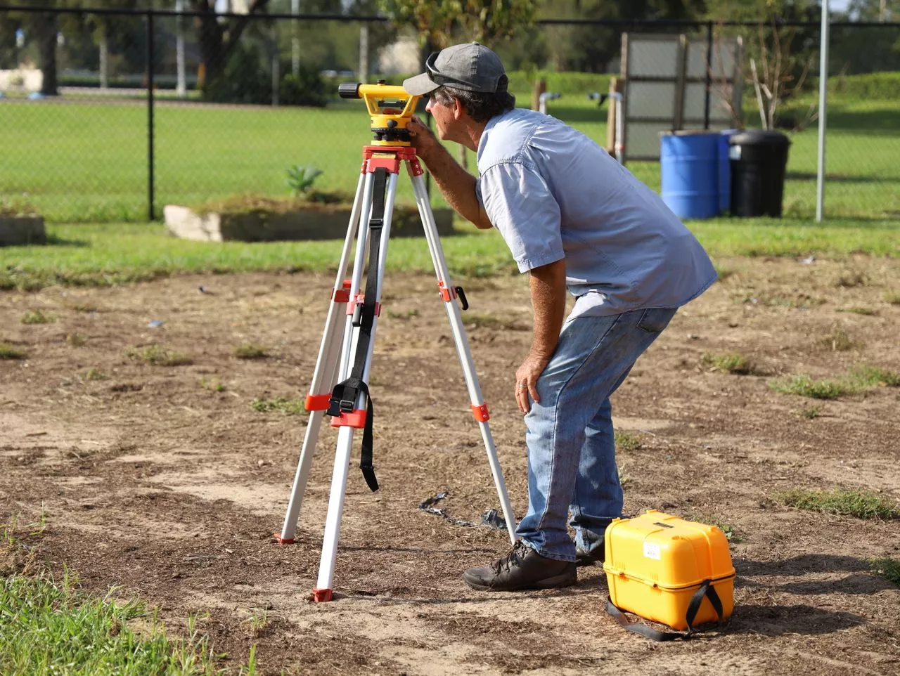
For survey professionals, integrated positioning and reality capture technologies can support more efficient collection of field information. Survey data can serve as the foundation for planning, design, construction and asset management, making the accuracy and accessibility of that information critical throughout a project’s lifecycle.
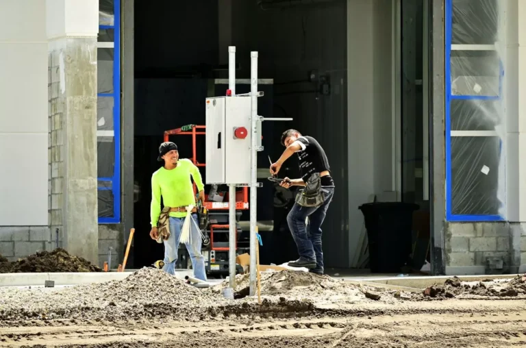
In construction, connected geomatics workflows can help project teams use digital information to support site preparation, layout, verification and progress management. Accurate positioning and captured site data can help teams compare actual conditions with planned designs and identify potential issues earlier in the process.
Infrastructure projects can also benefit from integrated data collection and monitoring capabilities. Large transportation, civil engineering and public infrastructure projects often require information from multiple sources over extended periods. Monitoring technologies can help project teams track changes and support ongoing assessment of assets and construction environments.
Subsurface intelligence is another area highlighted within Topcon’s expanded ecosystem. Understanding underground conditions can be important for construction and infrastructure projects, where unexpected subsurface features can affect schedules, costs and safety. Bringing subsurface information into broader digital workflows can help teams make more informed decisions before and during construction activities.
Topcon is also continuing to incorporate artificial intelligence into its technology development. AI can support the processing and interpretation of large volumes of project data, potentially helping users identify patterns, automate certain tasks and extract useful information more efficiently.
The company said its continued AI integration reflects a focus on practical applications rather than technology for its own sake. By combining AI capabilities with positioning, reality capture and data management systems, Topcon aims to help professionals use digital information more effectively in real-world project environments.
“ We provide an ecosystem that helps users streamline processes, improve collaboration, and simplify the digital management of project data,” Vancans said. “These new solutions, together with continued AI integration, reflect our focus on practical, interoperable technologies for the geomatics industry.”
The developments announced around INTERGEO 2026 come at a time when digital transformation is becoming increasingly important across surveying, construction and infrastructure. Project owners and contractors are seeking ways to improve productivity while managing increasingly complex datasets, tighter schedules and growing demands for accurate project documentation.
Interoperability can play an important role in addressing these challenges. When field equipment, software and data platforms can communicate effectively, project teams can reduce manual data transfers and improve the consistency of information used throughout the project lifecycle.
Topcon’s expanded geomatics portfolio is positioned around this concept of connectivity. By bringing together technologies covering positioning, reality capture, monitoring, subsurface intelligence and digital data management, the company is seeking to provide professionals with a more integrated approach to geomatics.
The solutions also reflect the changing role of geomatics within modern construction and infrastructure. Surveying and positioning technologies are increasingly connected to broader digital construction processes, allowing accurate field information to contribute to planning, execution, monitoring and long-term asset management.
Through its presence at INTERGEO 2026, Topcon is highlighting its continued investment in technologies designed to connect these workflows. The company’s focus on open integrations, cross-platform compatibility and AI-supported capabilities demonstrates its strategy of developing solutions that can adapt to existing project environments.
As construction and geospatial professionals continue to adopt digital tools, integrated workflows are expected to remain an important area of technology development. Topcon’s latest portfolio additions are intended to help users improve the movement of information between field operations and digital project environments, supporting greater collaboration and more efficient project data management across surveying, construction and infrastructure applications.
Source Link:https://www.businesswire.com/