
Topcon Launches CR-H1 Handheld Reality Capture Tool
Topcon Positioning Systems has launched a groundbreaking new handheld reality capture solution, the CR-H1, designed to set a new standard for mobility, accuracy, and ease of use in 3D data collection. As the newest addition to Topcon’s growing Capture Reality portfolio, the CR-H1 is poised to revolutionize workflows in a variety of professional disciplines—including construction verification, earthworks, civil engineering, subsurface mapping, land surveying, and more.
With the CR-H1, Topcon answers a growing industry demand for lightweight, accessible, and high-precision tools that offer fast and accurate geospatial data capture in the field. The solution builds on the strengths of Topcon’s advanced GNSS (Global Navigation Satellite System) technology and the powerful photogrammetry capabilities of Pix4D’s software, delivering a compact yet robust device that supports real-time 3D modeling from the palm of your hand.
Compact Yet Powerful: What Sets the CR-H1 Apart
At the heart of the CR-H1 system is a simple but powerful combination of devices: an iPhone equipped with built-in LiDAR and a specialized application—Pix4Dcatch—that captures a stream of high-resolution images used to generate full-color, photorealistic 3D point clouds. These images are georeferenced using Topcon’s HiPer CR GNSS receiver, which ensures the accuracy of spatial positioning in the final output.
Both devices—the iPhone and the HiPer CR receiver—are mounted on a custom-designed handheld grip, allowing for ultra-portable, tripod-free operation. Users no longer need to carry cumbersome equipment or set up extensive on-site hardware to perform advanced 3D capture. With this innovative handle design, the entire system becomes a lightweight, user-friendly solution for capturing environments on the go.
Designed for a Wide Audience
One of the standout features of the CR-H1 is its broad usability. The solution is tailored not just for seasoned professionals in the geospatial and construction industries, but also for new users who may be less familiar with reality capture systems. Thanks to intuitive software and ergonomic design, even first-time users can operate the CR-H1 with minimal training.
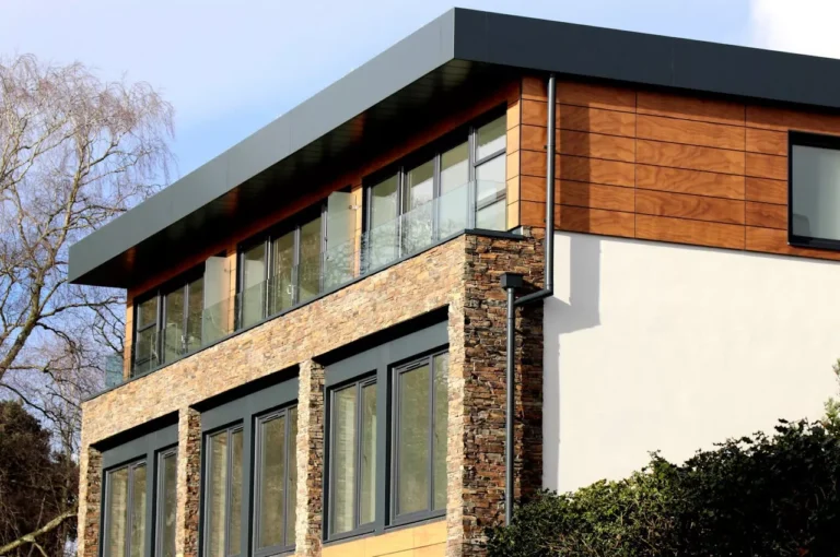
This versatility makes the CR-H1 suitable across a broad spectrum of applications. Construction professionals can use it for real-time site verification, earthworks monitoring, or building information modeling (BIM). Surveyors can capture topographic data or perform rapid site assessments. Utilities can use it for asset inspection, infrastructure planning, and subsurface mapping. The solution also lends itself well to 3D documentation in forensics and natural environment modeling.
A Strategic Collaboration: Topcon and Pix4D
The CR-H1 is the first commercial release born out of Topcon’s strategic partnership with Pix4D, a global leader in photogrammetry software. Their collaboration was formalized earlier this year with the goal of integrating advanced imaging and GNSS technologies into a seamless user experience.

According to Murray Lodge, Executive Vice President at Topcon Positioning Systems, the CR-H1 is a direct response to the growing demand for more accessible, yet powerful, 3D data collection tools. “By combining Topcon’s advanced GNSS technology with Pix4D’s industry-leading photogrammetry software,” Lodge said, “we are providing users with a powerful yet intuitive tool for creating accurate 3D models in the field. It is part of our commitment to providing innovative solutions in 3D data collection and processing.”
This product debut highlights the speed and effectiveness of the collaborative development process between the two companies. It also signals a strong intent to continue building and expanding the joint Capture Reality ecosystem in the future.
Topnet Live: Real-Time Precision
A key value proposition of the CR-H1 system is its compatibility with Topnet Live, Topcon’s real-time GNSS correction service. Users with a Topnet Live subscription can access continuous network corrections, ensuring highly accurate point clouds even in challenging field conditions.
With Topnet Live, the CR-H1 maintains real-time positional precision, allowing users to produce detailed georeferenced 3D models that meet the standards required in civil engineering, surveying, and construction documentation. This subscription-based service enhances overall system performance and ensures users receive consistent, high-quality deliverables.
A Seamless Workflow
In addition to hardware, the CR-H1 system leverages the strength of Pix4D’s photogrammetry engine to process collected data into high-resolution point clouds. Once data is captured in the field using the Pix4Dcatch app, users can upload the data to Pix4Dcloud or Pix4Dmapper for detailed 3D modeling, analysis, and sharing.
This seamless data flow between capture, processing, and output supports professionals in producing deliverables quickly, efficiently, and with confidence in their accuracy. Whether generating contour maps, digital twins, or structural verification models, the CR-H1 supports rapid turnaround from fieldwork to final documentation.
Supporting the Future of Field Data Collection
The CR-H1 represents not just a new product but also a new era in field-based reality capture. Its focus on mobility, simplicity, and precision opens up the door to more efficient workflows and better collaboration between project teams.
For companies working in high-demand construction environments, the CR-H1 can significantly reduce the time and cost associated with traditional surveying equipment, all while enhancing the precision and richness of the data being collected. It bridges the gap between consumer-grade devices and high-end professional solutions, democratizing access to advanced 3D capture technology.
As industries across the board continue to lean into digital transformation and BIM processes, the CR-H1 arrives at a perfect time—offering a future-ready solution that aligns with the growing need for digital accuracy, efficiency, and adaptability.